I'm Bill Haneberg. I build upon 35 years of public and private sector experience in geoscience research, professional practice, university teaching, policy advising, scientific communications, and organizational leadership to help organizations define, articulate, communicate, and solve interrelated geohazard, climate, and policy problems.
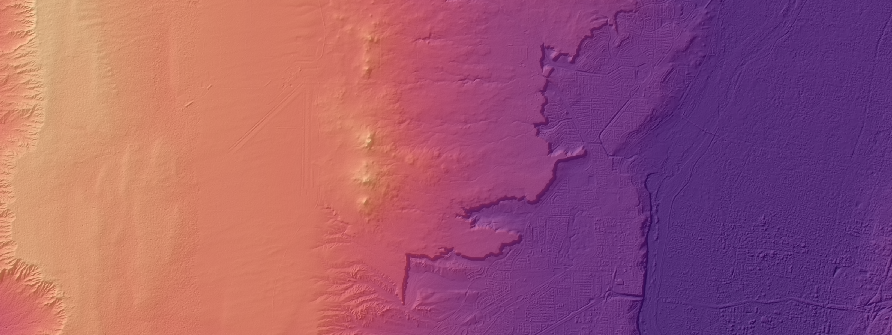
These days, I'm based a mile high in New Mexico in the shadow of the Albuquerque volcanoes, looking across the Rio Grande rift and its 10 million years of geologic history towards the Precambrian core of the Sandia Mountains. Before moving back to the Land of Enchantment in mid-2023, I was a research professor, the state geologist of Kentucky, and director of the Kentucky Geological Survey at the University of Kentucky from 2016 through 2023.
Before that, I worked with Fugro in Houston as the leader of its quantitative geohazards team (2011-2016); as an independent consulting geologist based originally in Seattle and later Cincinnati (1999-2011); and at New Mexico Tech as a senior engineering geologist and assistant director with the New Mexico Bureau of Geology and Mineral Resources (1989-1999) as well as a faculty adjunct in its Mineral Engineering Department and Earth and Environmental Sciences Department.
I help public and private sector clients solve geoscience, science communications, and policy challenges ranging from technical analysis to senior level scientific peer review to organizational strategy development to policy advising.
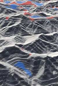
Much of my technical work over the years has focused on earth movements of one kind or another—landslides, rockslides, debris flows, land subsidence, earth fissures, and related geologic hazards—that occur either naturally or at least partly as a result of human activities like logging, mining, construction, and climate change. I've also worked on a variety of other topics like the effect of faults on subsurface fluid flow, aquifer system characterization for regional water resources management, flood response of mountain rivers to extreme precipitation, Himalayan geomorphology and neotectonics, and the use of geologic information to support planning and policy decisions.
And climate? That's a wildcard in geohazard conversations about landslides, debris flows, floods, and other events. My work over the past few years has expanded to include topics like the response of Appalachian watersheds to extreme precipitation events, ways to use climate model projections to assess long-term changes in regional landslide hazards using probabilistic approaches designed from the start to incorporate climate uncertainty and variability, and even the possible effects of meteorological conditions on indoor radon levels.
In terms of geologic settings, my work has taken me from ultra-deepwater ocean basins to the high Himalaya. My onshore experience includes a range of projects throughout the United States, Papua New Guinea, Nepal, Mexico, and the India. Offshore projects have included geohazard investigations in the Gulf of Mexico, the Mediterranean Sea, and offshore Brazil, India, Guyana, Mozambique, Angola, Cote d'Ivorie, Japan, Indonesia, Canada, and Australia.
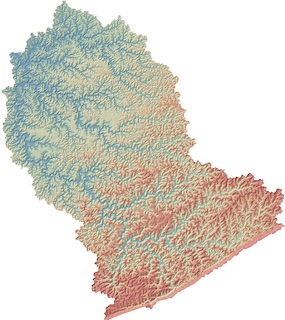
I also actively collaborate on applied research topics like GIS applications, high-resolution digital terrain modeling for geohazard assessment and geomorphological change detection, physics-based probabilistic regional landslide hazard modeling, machine learning approaches to leverage the the time and interpretive experience of experienced geologists, understanding downstream changes in flood recurrence intervals, use of geologic information to minimize geohazards and risks, geologic controls on indoor radon levels, and more. Over the years, portions of my research have been funded by the U.S. Geological Survey, the National Science Foundation, the National Institute for Environmental Health Sciences, and the National Academies of Sciences, Engineering and Medicine.
There's a lot more to science than just science if it's to be societally relevant and useful for policy support.
My experience developing and evaluating scientific information to support policy decisions dates back to my involvement with the City of Cincinnati Infrastructure Commission in 1987, when I was part of a team that provided input on the practical consequences of hillside instability in one of America's most landslide-prone cities. Our report articulated the extent of the landslide problem within the context of infrastructure economics and recommended that the city increase its engineering geologic and geotechnical capabilities in order to better handle landslide related problems. The result was establishment of a robust landslide and retaining wall program that is still active today.
During the mid-late 1990s, when I was an assistant director of the New Mexico Bureau of Geology and Mineral Resources, much of my research was focused on hydrogeologic characterization of the Albuquerque basin aquifer system and I was an active participant on the New Mexico Office of State Engineer Middle Rio Grande Technical Advisory Committee that met regularly to make recommendations about applied research directions that would help answer regional water resource questions.
A few years later, in 2002 and 2003, I was invited to serve on an independent scientific review panel assembled by the North Coast Regional Water Quality Control Board asked to review available scientific information about landslides, clearcut logging, sedimentation, surface water quality, and salmonid habitat. You can read the panel's reports here and here in addition to a related Geological Society of America annual meeting abstract about the role of scientific peer review panels in the management of forested lands. The panel's work ultimately led to the adoption of the state's first watershed-wide surface water waste discharge requirement to mitigate environmental damage from clear-cut logging in Northern California.
My work as Kentucky's state geologist and director of the Kentucky Geological Survey from 2016 through 2023 included development of a strategic plan to foster transformationally integrative applied research simultaneously consistent with the survey's legislative mandate and its role as a research center within a growing Carnegie R1 research university, including increased emphasis on topics such as geohazard and risk mapping, orphan well and coal mine methane emissions monitoring, collaborative geohealth research, Appalachian flooding, non-traditional stakeholder engagement, and potential climate change impacts in Kentucky (including affiliation with the Kentucky Climate Consortium).
While in Kentucky, I served on the National Geospatial Advisory Committee (including its 3DEP subcommittee) from 2020 through 2023. Sponsored by the US Department of the Interior, the NGAC provides advice about management of federal geospatial programs, development of a National Spatial Data Infrastructure, review of national geospatial policy, and representing the interests of non-federal stakeholders. As an active member of the Association of American State Geologists, I made congressional and federal agency visits to explain the value of geologic mapping and, more broadly, geoscience information to support policy decisions. More locally, I served on the Kentucky Geographic Information Advisory Council — which recommends policies and procedures to help state and local agencies leverage the value of the commonwealth's GIS resources — as well as advisory boards for the Kentucky Water Research Institute, the Center for Applied Energy Research, and https://www.research.uky.edu/environment within the University of Kentucky.
As an independent consultant, I've been helping clients working at the science-policy interface on problems like incorporating water resources and geohazard information into computer models of international supply chain disruption, developing unified and defensible strategies for post-wildfire debris flow hazard and risk assessment, and more.
Follow me on LinkedIn to keep up to date or check out my Google Scholar page with links to many of my publications. You can also download a copy of my c.v. by clicking on the link or send an email if you'd like to talk about my availability.
Copyright ©2023 William C. Haneberg LLC. All rights reserved.
Last updated October 25, 2023